

Your facility map, data, and workflows in one place.
Understand your facility, connect your data, and build applications tailored to your workflow. With Map Studio, Connect AI, and Navbea Builder, bring field needs directly to web and mobile experiences for your teams.
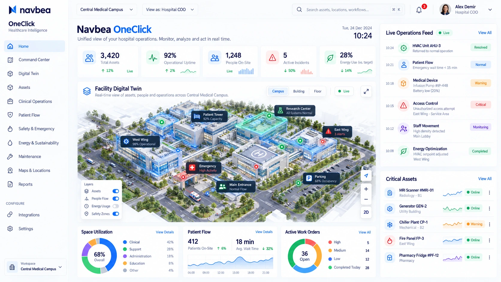
Map Studio · On-Map Recommendations
Transition from 2D floor plan to 3D digital map with automated usage recommendations across shipping, warehouse, and shared corridors.
Live Digital Twin
Monitor people, equipment, vehicles, and safe zone layers on a real-time 3D facility map.
Connect & AI
Unify BLE, UWB, RFID, Wi-Fi, and sensor data; query heatmaps, bottlenecks, and dwell-time analytics with AI.
Automation and Alert Engine
Trigger instant notifications and work orders upon hazard zone breaches, forklift-pedestrian proximity, inactivity, or bottlenecks.
Integrations & REST API
Two-way data flow and standard Webhook/REST API integration with your ERP, WMS, EHS, access control, and BI systems.
Frequently asked questions
Can it be used alongside existing systems?
Data access, protocols, and business requirements are evaluated. Necessary connectors and responsibilities are defined in technical scoping.
Do we need to start with all modules?
A scope focused on the initial use case can be created. Required components are clearly specified in the pilot plan.
Start digitizing your facility today.
Plan your pilot to unite your maps, on-site assets, and field teams on a single platform.