

Turn location data into shared decisions.
Unify people, asset, and operational data on a single screen for faster, coordinated decision-making.
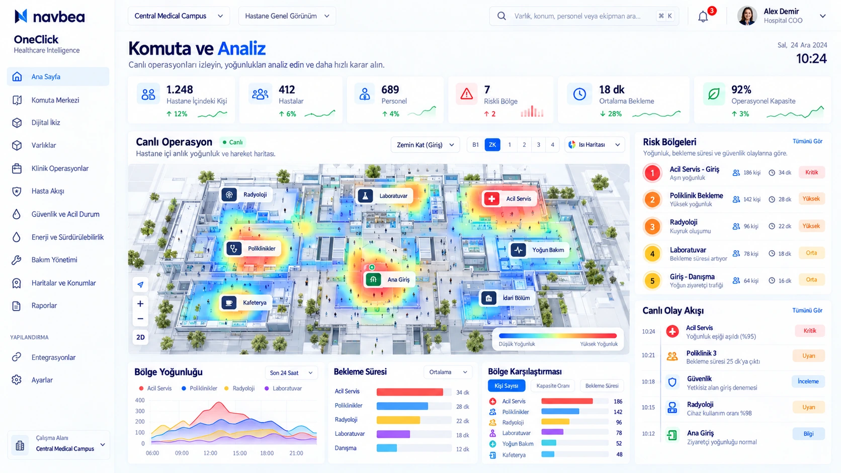
What can you achieve with Command & Analytics?
Operational visibility and workflow capabilities tailored to your site.
Digital twin
Represent the physical site on a live digital twin and view all layers on one screen.
Events
Inspect field events with historical timelines and spatial context.
Reports
Convert zone density, dwell times, and utilization metrics into clear reports.
Command & Analytics operations view
Inspect facility areas, tracked assets, and telemetry logs directly on the map.
What is required?
Two core inputs are sufficient to get started quickly.
Identifier for the personnel, equipment, vehicle, or zone in the system.
Existing infrastructure providing location or boundary telemetry (BLE, UWB, sensors, network).
Related industries
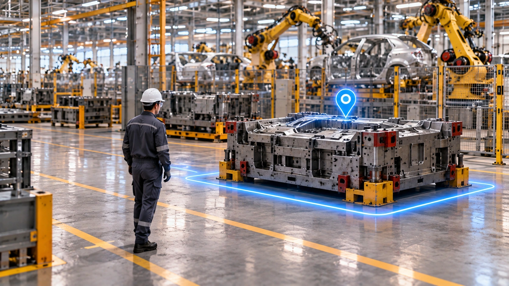
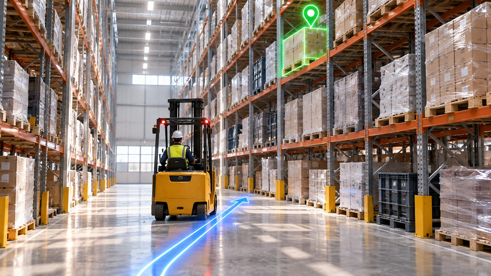
Industries where Command & Analytics solutions are actively deployed and drive measurable value.

Frequently asked questions
Is every indicator ready from day one?
Indicators depend on the required data and definitions. Missing sources are identified; which questions can be answered in the pilot is clarified.