

Agriculture. Bring field and equipment visibility together.
Tractor, implement, and field crew visibility across industrial farms and greenhouses.
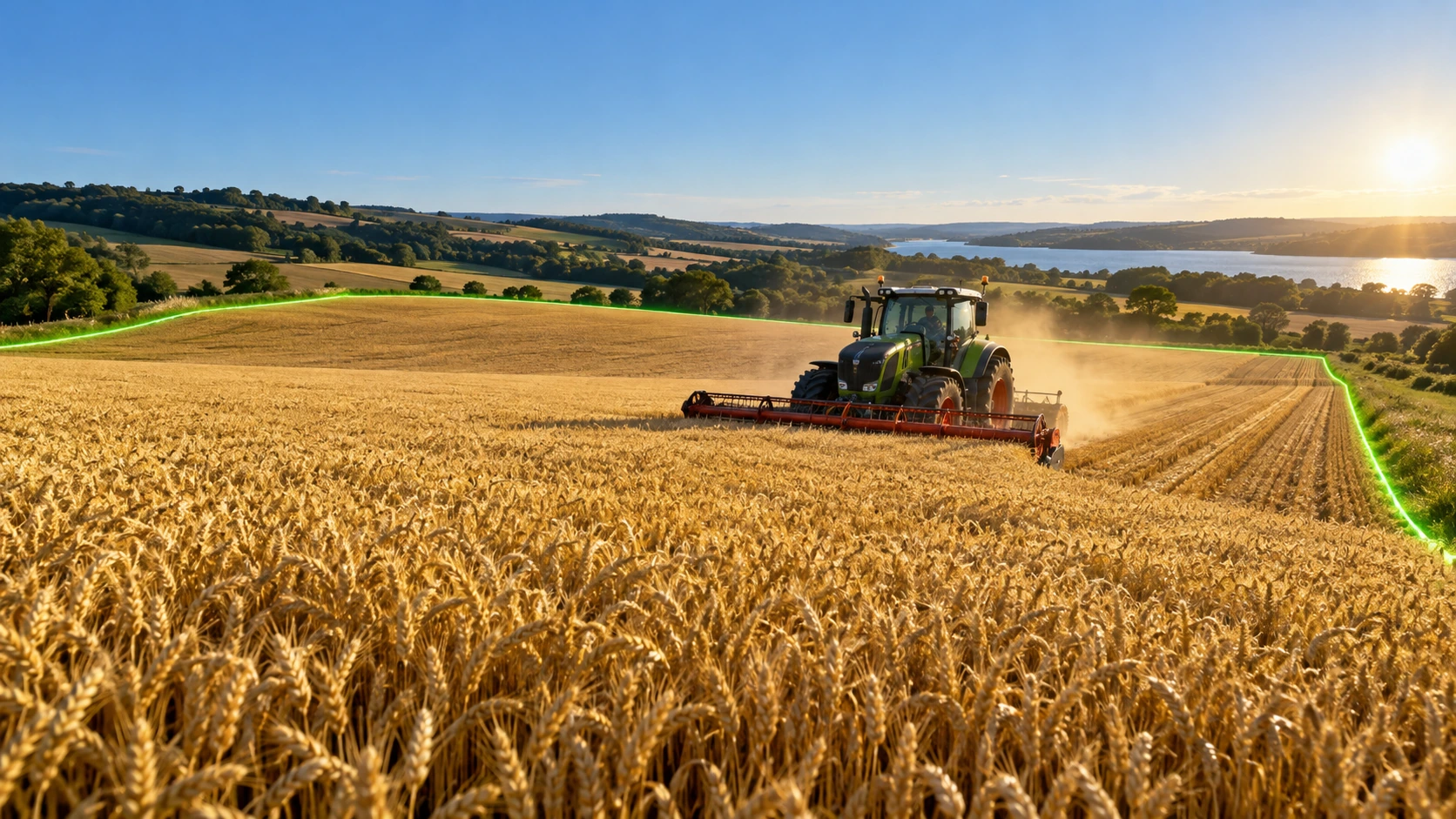
Top 3 priorities for Agriculture
Most frequently addressed needs in this industry with direct field impact.
Vehicle tracking
Monitor location and utilization of tractors and farm vehicles.
Crew coordination
Manage harvest and maintenance crews across plots and greenhouses.
Plot & zone visibility
View plots, greenhouses, and storage activities on the map.
Explore Agriculture operations in detail
See what changes in the field and how value is delivered at every step.
Where are the vehicles and equipment?
See the latest location of tracked tractors and portable equipment. Enable information-based coordination between fields, storage and maintenance areas.
Connect work to the work area
Link tasks to the relevant parcel or facility area. Evaluate which area teams are working in within the framework of permissions.
Zone and sensor context
Where suitable sensor sources exist, review the data together with the relevant area. Keep the data scope clear without confusing location visibility with agronomic assessment.
Mobile Guidance & Operations in Agriculture
Equip personnel and visitors with verified indoor wayfinding and telemetry on mobile devices across Agriculture facilities.
Facility zones and data flow analysis
Map Studio analyzes facility type, zones, and data flow together. Select a zone on the map to see recommendation rationale, required data, and expected benefits.
Agriculture spatial analysis
Helps improve your operational workflow by analyzing movement and transitions across facility zones.
Integrated solution families
Integrated solution modules delivering the highest efficiency in this industry.
Vehicles & Machinery
Track vehicles and heavy machinery on the map. Manage safer and more efficient operations with zone rules and utilization visibility.
Workforce
Manage field tasks, work permits, and team briefings on a single platform. Build more structured, safe, and productive field operations.
Assets
Monitor your field equipment on a single platform. Manage assets more efficiently with live location, availability, and movement history.
Frequently asked questions
Which map file formats can we upload?
You can import site plans in PDF, image, KML, or GeoJSON formats into Map Studio.
Can we start with a specific greenhouse or yard?
Yes, start with a pilot in a priority greenhouse or machinery yard.